About This Weather Station | N 39°39′58″ W 77°23′36″ Elevation 816′ |
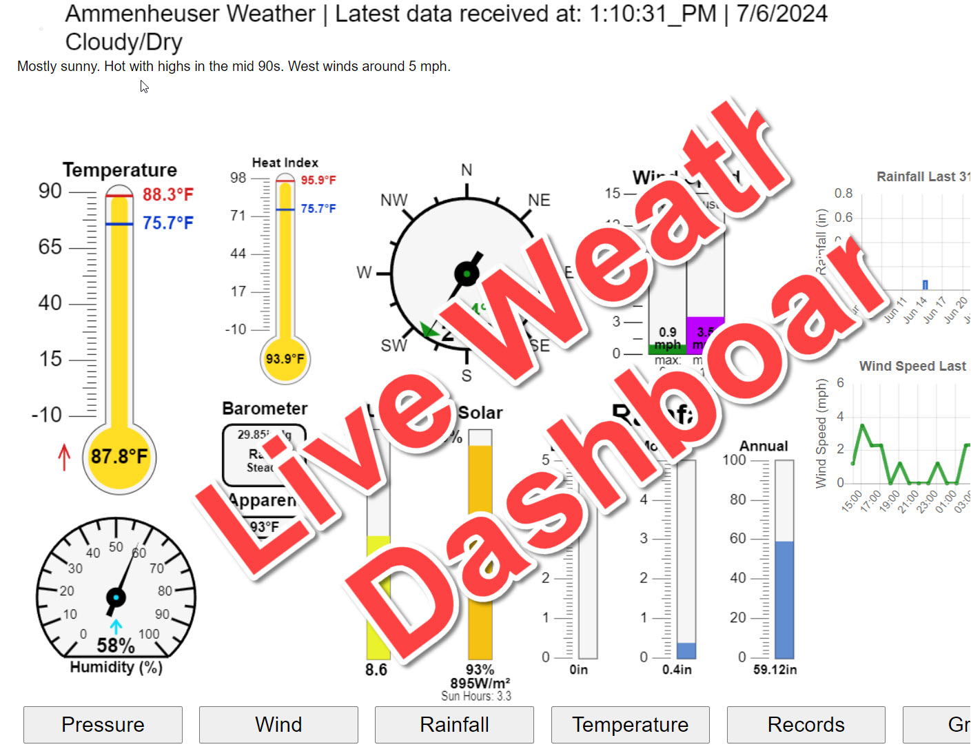
This Personal Weather Station (PWS) is powered by a Davis Wireless Vantage Pro2 Plus weather station hardware. The data is collected in real time and posted to this website every 4 seconds. The software used to collect the data and copy it to this site is performed by a software product called Weather Display. This Weather (Wx) Station is comprised of an anemometer, a barometer, a heated (when below 38°F) rain collector, fan aspirated temperature and humidity sensors, as well as, Solar Radiation and UV sensors. The garden has a Davis Leaf, Soil Moisture and Temperature monitoring station. This station includes a Leaf Wetness sensor, 4 soil moisture and 4 soil temperature sensors buried at levels of 4", 12", 24" and 36".
This station is part of the Citizen Weather Observer Program (CWOP) Network. Each device has been sited to comply with the program's guidelines to the greatest extent possible. In addition to publishing this site, data is shared at regular intervals (usually every 10 minutes or so) to various government agencies, academia, and commercial establishments. Some of the more recogonizable names include: the National Weather Service, the National Ocean Service, National Center for Atmospheric Research, NASA, MIT, Texas A&M, Weather Underground, WeatherForYou and others.
About Thurmont
Thurmont is a small town of approximately 6000 residents situated in Northern Frederick County, adjacent to the foot hills of the Catoctin Mountains, in North central Maryland. The area has a very rich history with Gettysburg approximately 15 miles to the North-East, Baltimore about 50 miles to the South-East, Washington D.C approximately 55 miles South and Hagerstown about 20 miles west, over the mountains. The presidential retreat, Camp David is just a few miles away in the Catoctin Mountains.The original town name of Mechanicstown was founded in 1751. During that time the area was know for its building timber, charcoal and bark for the local tanneries and other infant businesses. The nearby Catoctin Furnace used the local iron ore to provide iron product to area blacksmiths. The civil war used Catoctin Furnace to manufacture cannon balls and other war related iron products.
The construction of the railroad in the early 1870's brought with it lumber, pottery and cigar making businesses. The rich mountain soil provided the perfect environment to grow numerous vegetables and fruits. Area farms and orchards helped feed the larger cities to the east and south. During the summers, the railway made it easier for city dwellers to come to Thurmont to enjoy the cooler mountain environment where hiking to the wonderful vistas and fishing the abundant streams became a common pastime.
It was not until 1894 that the name Thurmont replaced the antiquated name of Mechanicstown. While alot of the old traditions are no longer around, tourists still come to Thurmont to enjoy the parks, hiking and fishing. The local orchards are still producing some of the best fruit and vegitables available in the central Atlantic region.
Should you ever pass through the area, stop by and visit, you will be glad you did.
The above was summarized from a piece written by local historian, Anne Cissel. Her complete article
can be found here. More Thurmont
history can be found by visiting the local historical society web
site.
Current information about Thurmont can be found by visiting the town's website, or by viewing the town's online videos.
Additonal information about Frederick County county can be found here.
To learn more about the wonderful state of Maryland visit the Maryland Office of Tourism
and The Maryland Chamber of Commerce.
About This Website
This website is based on a template design by CarterLake.org with PHP conversion by Saratoga-Weather.org. This website is a work in progress and would not be possible without the contributions of these fine individuals:- Special thanks go to Kevin Reed at TNET Weather for his work on the original Carterlake templates, and his design for the common website PHP management.
- Special thanks to Mike Challis of Long Beach WA for his wind-rose generator, Theme Switcher and CSS styling help with these templates.
- Special thanks go to Ken True of Saratoga-Weather.org for the AJAX conditions display, dashboard and integration of the TNET Weather common PHP site design for this site.
- Template is originally based on Designs by Haran.

 View South
 View West


